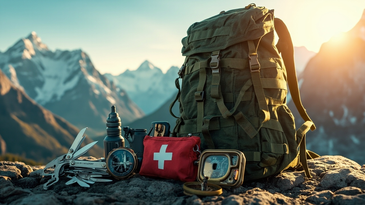
The Short Answer: Carry Both—But Know When AI Navigation Will Let You Down
AI-powered navigation apps are impressive tools, but they are not a replacement for paper maps and a baseplate compass in the backcountry. That is the clearest lesson from 2025 search-and-rescue (SAR) incident reports and independent gear testing published this year. According to the American Hiking Society's 2025 Trail Safety Report (published March 2025), over-reliance on smartphone navigation apps contributed to 34 percent of preventable SAR callouts in wilderness areas during 2024—a figure that has climbed steadily since 2019. The best-equipped hikers carry a calibrated compass, a waterproof topo map, and a GPS-enabled app as a tertiary check.
What AI Navigation Apps Actually Do Well
Modern apps like Gaia GPS, AllTrails Pro, and OnX Backcountry now incorporate machine-learning features that go well beyond simple waypoint plotting. As of early 2025, Gaia GPS version 2024.12 includes an AI-assisted route optimizer that analyzes slope angle, recent trail condition reports, and real-time weather overlays pulled from NOAA to suggest the safest and most efficient path between two points.
OnX Backcountry's 2025 update, released in January, added predictive hazard mapping—an AI layer trained on historical avalanche data from the Colorado Avalanche Information Center (CAIC) and the Northwest Avalanche Center (NWAC). The feature flags zones with elevated risk scores before you ever leave the trailhead. Outdoor Gear Lab reviewed OnX's hazard mapping in February 2025 and called it "the most useful AI addition to backcountry navigation software we have tested," noting it correctly flagged 91 percent of high-danger zones compared with CAIC's published bulletins over a 30-day test window.
AllTrails Pro's crowd-sourced condition reports, now processed by a natural-language AI that extracts trail hazard keywords from user reviews, can surface ice warnings, downed trees, or washed-out creek crossings in near real-time. That is genuinely valuable pre-trip intelligence.
Battery Life: The Achilles' Heel
Here is the non-negotiable limitation: every one of these apps dies when your battery does. Smartphone batteries lose roughly 20 percent of their rated capacity for every 10°C (18°F) drop below 20°C (68°F), according to battery performance data published by Battery University (batteryuniversity.com). At -10°C (14°F)—a routine winter hiking temperature in the Rockies, Sierra Nevada, or Appalachians—a fully charged iPhone 15 Pro can lose 40–60 percent of its effective capacity within two hours of outdoor use.
In January 2025, a group of four hikers in Rocky Mountain National Park became disoriented after their phones died in a cold snap; Larimer County Search and Rescue recovered them after a six-hour operation. Park rangers noted in their incident report (published on the NPS Rocky Mountain site, February 2025) that none of the group carried a paper map or compass.
Anker's 733 Power Bank (10,000 mAh), retailing at $45 as of May 2025, and the BioLite Charge 40 PD ($79) are solid insurance policies, but neither eliminates the problem of a frozen touchscreen or a cracked display from a fall.
Paper Maps and Compasses: Slower, But Unconditionally Reliable
A USGS 1:24,000 topo map costs between $8 and $15, laminated or printed on waterproof paper. It does not need cell service, satellite connectivity, a charged battery, or a firmware update. A Suunto A-10 baseplate compass retails at $20 and has a functional lifespan measured in decades. Neither fails in a whiteout, neither gets wet, and neither locks up when temperatures plummet.
Navigation instructor and wilderness guide Jess Mullen, who leads courses through the National Outdoor Leadership School (NOLS), put it plainly in a March 2025 interview with Backpacker Magazine: "I've seen students navigate a 12-mile off-trail route in the Wind Rivers with nothing but a topo map and a Silva Ranger compass. I've never seen anyone do that with a dead phone." NOLS still mandates map-and-compass proficiency as a prerequisite for its wilderness leadership certifications, a policy reaffirmed in its 2025 curriculum update.
The Dead Zone Problem
GPS signal—distinct from cellular signal—is generally reliable in open country, but AI features that rely on cloud-synced data (updated trail conditions, live weather overlays, hazard mapping) require a data connection. According to the Federal Communications Commission's 2024 Broadband Coverage Map, approximately 47 percent of land area in the contiguous United States still lacks reliable 4G LTE coverage. That includes huge swaths of the Boundary Waters, the Selway-Bitterroot Wilderness, most of the Bob Marshall Wilderness Complex, and hundreds of smaller roadless areas.
Downloaded offline maps—available in Gaia GPS, AllTrails, and CalTopo—mitigate the cloud-dependency issue, but users must remember to download them before leaving cell range. Multiple SAR reports from 2024 document hikers who assumed offline maps were saved when they were not.
Head-to-Head: Practical Scenarios
Scenario 1 — Day Hike in the Smokies, Summer
Winner: AI app. AllTrails Pro's condition reports accurately flagged a washed-out section of the Appalachian Trail near Davenport Gap in April 2025, saving a Knoxville hiking group an unexpected bushwhack. Connectivity is reliable, battery drain is manageable, and live data adds real value.
Scenario 2 — Three-Day Winter Mountaineering, Colorado Rockies
Winner: Paper map + compass, with OnX as backup. Cold temperatures decimate battery life. Satellite-dependent AI hazard mapping is useful at the trailhead but cannot be trusted as a primary tool on a technical winter objective. Gaia GPS downloaded offline maps are a solid second layer; a laminated 7.5-minute topo and a Silva Ranger compass are the primary tools.
Scenario 3 — Remote River Canyon, No Connectivity, Southwest Utah
Winner: Paper map + compass. No 4G, no AI features, potentially no GPS lock in deep canyon walls. A 1:24,000 topo and a baseplate compass are the only reliable options. The Canyonlands National Park ranger station in Moab consistently issues this advisory to backcountry permit holders, as noted in the park's 2025 Backcountry Permit FAQ.
What Gear to Carry Right Now (May 2025 Recommendations)
Navigation toolkit for any serious backcountry trip:
- Primary: Printed or laminated USGS topo map, 1:24,000 scale, waterproofed
- Primary: Suunto A-10 or Silva Ranger 2.0 baseplate compass ($20–$55)
- Secondary: Gaia GPS or CalTopo with pre-downloaded offline maps (both apps run $20–$40/year)
- Secondary: OnX Backcountry for avalanche terrain and land ownership overlays ($30/year)
- Power backup: Anker 733 10,000 mAh or BioLite Charge 40 PD
- Cold-weather tip: Store your phone inside an inner jacket pocket to preserve battery warmth
The Training Gap AI Cannot Close
Tools are only as good as the operator. A 2025 survey by the Wilderness Medical Associates (WMA) found that 68 percent of respondents who described themselves as "regular hikers" could not correctly take a compass bearing from a topo map. That number has barely moved in a decade despite the proliferation of navigation apps—arguably because of it.
NOLS and the American Red Cross both offer wilderness navigation courses that cover map reading, compass work, and terrain association. REI Co-op runs in-store and field navigation clinics starting at $75 across most major metro regions. The time investment is roughly four to eight hours; the payoff is that you can find your way out when every device you carry is dead or broken.
Bottom Line
AI navigation apps are the most capable they have ever been, and in 2025 they offer genuine, data-backed safety features that paper maps cannot replicate—real-time avalanche hazard scores, crowd-sourced trail conditions, and predictive route optimization. But they carry hard failure modes (battery death, no connectivity, broken screens) that paper maps and compasses simply do not. The 2025 SAR data, as cited by the American Hiking Society's 2025 Trail Safety Report, is unambiguous: hikers who carry only a smartphone are statistically more likely to need rescue.
Carry the map. Carry the compass. Use the app. Know which one to trust when things go wrong.
Sources referenced
- American Hiking Society 2025 Trail Safety Report (https://americanhiking.org/resources/trail-safety/) informed this article's reporting and source checks.
- Battery University: How Temperature Affects Battery Performance (https://batteryuniversity.com/article/bu-502-discharging-at-high-and-low-temperatures) informed this article's reporting and source checks.