TL;DR: Marsh-Billings-Rockefeller National Historical Park scheduled rolling trail closures from November 2 through November 20, 2026, for hazard-tree felling along five routes, with hikers potentially held at barriers for up to an hour.
The Vermont park's notice, "Temporary Trail Closures - November 2-20, 2026", sets the work window at November 2 through November 20 and was last updated October 28. The routes named are Mountain Road, Prosper Trail, McKenzie Road, Upper Meadow Road and Sugar House Road, all in the Mount Tom Forest outside Woodstock.
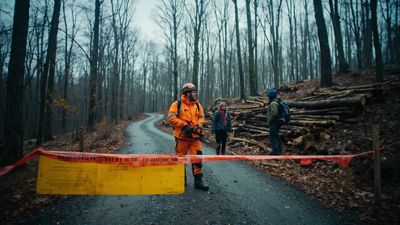
Shutdowns are sectional, not a blanket closure. The notice says short stretches may shut while crews fell trees, and that walkers can be held for as long as an hour at a time.
The five routes and the map
The park's Potential Trail Closures Map shows the affected ground.
Segments where a closure may occur are outlined in yellow; barrier points where foot traffic may stop are marked in red.
The map repeats the one-hour ceiling. It also lists emergency contacts: 911 and the park line, 802-457-3368.
Its labels do not match the notice exactly: the map calls one route Sugarhouse Road Loop, while the notice lists Sugar House Road.
The park's Alerts & Conditions page carries the dates under "Trail Closures: November 2-20" and says the tree-removal work will force short stretches of trail to shut. It asks visitors to heed the signage crews post. The park homepage repeated the alert, last updated November 1.
The notice calls the shutdowns a safety measure and thanks visitors for cooperating.
Why trees are coming down on Mount Tom
Hazard trees are the stated target of the operation.
Mount Tom Forest, which the park's homepage calls the oldest scientific forest in the United States under continuous management, is still harvested in places; the park's quiet-season page notes that many stands are cut for wood.
Frederick Billings had 10 miles of carriage roads built between 1880 and 1895 to reach pastures and young woodlots, according to the park's Outdoor Activities page.
The network is bigger than the closure list. The alerts page puts it at 25-plus miles of carriage roads and trails.
The hiking page lists access from the VT-12 entrance, where the lot is shared with Billings Farm & Museum, as well as the Prosper Road lot, Faulkner Park and King Farm.
For a wider view of the area, the park points to the Walk Woodstock map, which joins park routes with trails managed by the Billings Park Commission, the Faulkner Trust and the Vermont Land Trust.
Quiet-season logistics
The work lands at the start of the park's quiet season.
Grounds and trails remain open year-round in daylight, but every building, the Carriage Barn Visitor Center and mansion included, is closed from October 31 to Memorial Day Weekend, and ranger programs pick up again in late May.
Maps therefore need arranging in advance. Printed copies are handed out at the Carriage Barn from 10 a.m. to 5 p.m. between Memorial Day Weekend and October 31, so the park suggests printing or downloading one before a hike. Coverage is limited and often drops in the park's western sections, and the NPS App stores maps for offline use.
The main lot is shared with Billings Farm & Museum, just off Route 12 about half a mile north of Woodstock, and a second access point sits on Prosper Road. Horse trailers may use the Prosper Road lot or the museum's overflow lot. There is no entrance fee.
Visitor services are limited from November through May, according to the park.
Some route names mislead. Mountain Road and Prosper Road look like roads on the map, but bicycles and motor vehicles are barred from carriage roads and trails, which are reserved for pedestrians and horseback riders, according to the park's Basic Information page.
There is no vehicle access on Mount Tom. Visitors on foot cross Elm Street and face a brief, sharp climb to reach the Carriage Barn.
When snow changes the rules
Mountain Road is also a winter corridor.
The Woodstock Resort Corporation holds an easement over the carriage roads and trails for winter use, and the Woodstock Inn & Resort Nordic Center grooms more than 12 miles of park trails, the quiet-season page says.
Nordic passes are sold at the center on Route 106, reachable at 802-457-6674.
Skiing or snowshoeing beyond the designated multi-use trail requires a Nordic day ticket or season pass.
About four miles of multi-use trail, running along Mountain Road, the Pogue Loop and Mount Tom Road from the main entrance, carry no fee.
The park adds that leashed pets are welcome until snow arrives, when the carriage roads are given over to cross-country skiing and snowshoeing.
What the park wants hikers to carry and know
The hiking page's safety guidance is concrete: water, supportive footwear, a locked car at a designated trailhead, trash carried out, a leash for any dog, a route matched to your ability, a map, a shared plan and a weather check.
A phone is worth packing, though service is unreliable in the west of the park.
Emergencies go to 911; the information line is 802-457-3368.
Terrain varies, from flat, smooth ground to steep, rocky climbs, and the park's safety page warns of uneven footing.
It also flags ticks and mosquitoes as disease carriers, adding that staying on main roads and trails cuts exposure.
Water rules are firm. The Pogue is off-limits to swimmers, waders and anglers, and the park advises against ever travelling on its ice, by foot, ski, snowshoe or skate, because conditions shift.
Riders and hikers share the carriage roads, and walkers should give way by moving to the downhill side.
Wild animals should be given space and never fed.
Suggested hikes on the park's list range from a 1.25-mile junior ranger loop with short steep sections to a 4-mile climb of South Peak.
Checking before you climb
The notice asks hikers to phone 802-457-3368 or consult the park website for that day's closure news before setting out.
Signs and barriers at the site carry the live status.
The map marks where interruptions may occur, not where they will.
The park's instruction is to respect whatever signs and barriers are in place on the day of the visit.