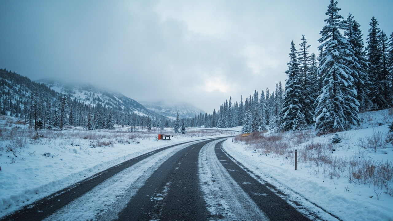
TL;DR: Trail Ridge Road in Rocky Mountain National Park closed to through vehicle traffic for the winter season on Nov. 13, 2026, with closures at Many Parks Curve on the east side and Colorado River Trailhead on the west.
The National Park Service announced the closure in a Nov. 13 news release, and CBS Colorado reported the same day that snow and ice ended the driving season on U.S. Highway 34. Through trips between Estes Park and Grand Lake are suspended until the road reopens, which the park says typically happens during the last week of May, weather permitting. This year the road opened on Friday, May 29.
The park service says the closed section stays available to people on foot, on bicycles and with leashed pets through the winter.
Where the road closes — and how far you can still drive
Traffic stops at Many Parks Curve on the park's east side and at Colorado River Trailhead on the west, according to the park service release. Drivers approaching from Estes Park can still reach Hidden Valley and Many Parks Curve. From the Grand Lake Entrance, vehicles can go as far as Colorado River Trailhead.
Two other scenic drives remain open for winter use, the release states: Bear Lake Road and Endovalley Road. Bear Lake Road is a 9.2-mile paved route that climbs from 8,200 feet at its junction with Trail Ridge Road near the Beaver Meadows Entrance to 9,475 feet at the Bear Lake parking area and trailhead, according to the park's road status page. The park warns that snow and ice can be present on that road in winter and spring and that traction control may go into effect at any time.
Why the highway closes each fall
Trail Ridge Road was not designed as an all-season road, according to the park service. Eleven of its miles lie above 11,500 feet, and the road has few guardrails and no shoulders. Wind-driven snow, strong winds and temperatures below freezing are routine above 10,000 feet. The park describes the route as the nation's highest continuous paved road: 48 miles one way across the park, topping out at 12,183 feet.
CBS Colorado reported that Trail Ridge Road shut temporarily on Oct. 13, 2026, because of limited visibility plus snow and ice, with traffic stopped at Rainbow Curve on the east side and Milner Pass on the west.
Rocky Mountain National Park ranked fifth among U.S. national parks for visits in 2024, drawing more than 4.1 million people, CBS Colorado reported; Great Smoky Mountains, Zion, Grand Canyon and Yellowstone each drew more.
Walking or riding the closed road: what the park allows
Bicycles and leashed pets are restricted to the road itself on the closed stretch — side trails and tundra are off limits to both, according to the park service. Elsewhere in the park, pets are barred from all trails, tundra and meadow areas, according to the park's trail conditions report.
Its winter and spring visit guidance says snow-packed trails and winter conditions are typical in most of the park from October through early June, that traction devices are advised and snowshoes may be needed, and that lower-elevation trails can also be icy.
The park's trail report, updated Oct. 22, 2026, said the season's first notable snow had reached high elevations and that hikers above 9,000 feet should plan for snow or ice, with traction devices and hiking poles useful on packed and icy sections. The report recommends waterproof boots and warm wicking socks, and it lists the Ten Essentials, a map and compass plus a GPS unit, and a shared itinerary covering route, parking spot and expected return time as baseline precautions.
Vehicle rules: the traction law can switch on at any time
Rocky Mountain National Park's road page states that the Colorado Vehicle Traction Law can take effect at any time based on weather and road conditions, and that when it is active every vehicle — four-wheel drive, all-wheel drive or two-wheel drive — needs Mud and Snow, Mountain and Snow, or All-Weather tires with at least 3/16 inch of tread. Vehicles without rated tires must use an approved traction device such as chains, cables, tire socks or studded tires.
The park enforces those rules even though it holds federal exclusive jurisdiction, citing authority under 36 CFR 4.2(b) to apply state and local traffic regulations. If a vehicle crashes, including sliding off the road on ice while the law is active, the driver can be cited for equipment that does not meet the standard.
Cold exposure: warning signs and response
Rocky Mountain National Park spans elevations from 7,800 feet to more than 14,000 feet, and its hypothermia page notes that cold injury is possible in any season, including on clear, sunny days. The park advises wicking layers that can be added or removed, avoidance of cotton and jeans, and a jacket matched to conditions, noting that 12,000 feet feels considerably colder and windier than 7,000 feet. Even in summer, the park recommends packing a warm hat, gloves, extra wool socks and a waterproof layer.
Warning signs listed by the park include shivering a person cannot control, speech that slows or slurs, memory gaps, hands that fumble, stumbling, drowsiness and exhaustion. The park's response steps are to move the person out of the weather, into dry clothes and off the ground with a barrier beneath them, keep them awake, offer warm non-alcoholic drinks and seek professional medical help immediately.
Confirm status before leaving
The park maintains a recorded Trail Ridge Road status line at 970-586-1222 that runs 24 hours a day, and an information office at 970-586-1206; in winter that office answers calls from 8 a.m. to 4 p.m. Monday through Friday and 8 a.m. to noon on weekends. The park's road page states that because conditions shift quickly, road status updates are not posted on its website, and it points visitors to the phone line, roadside message boards and its @RockyNPS account. Six live webcams are also available for checking conditions.
Through travel typically returns in the last week of May, weather permitting, per the park service; CBS Colorado reports the road usually reopens on or around Memorial Day.