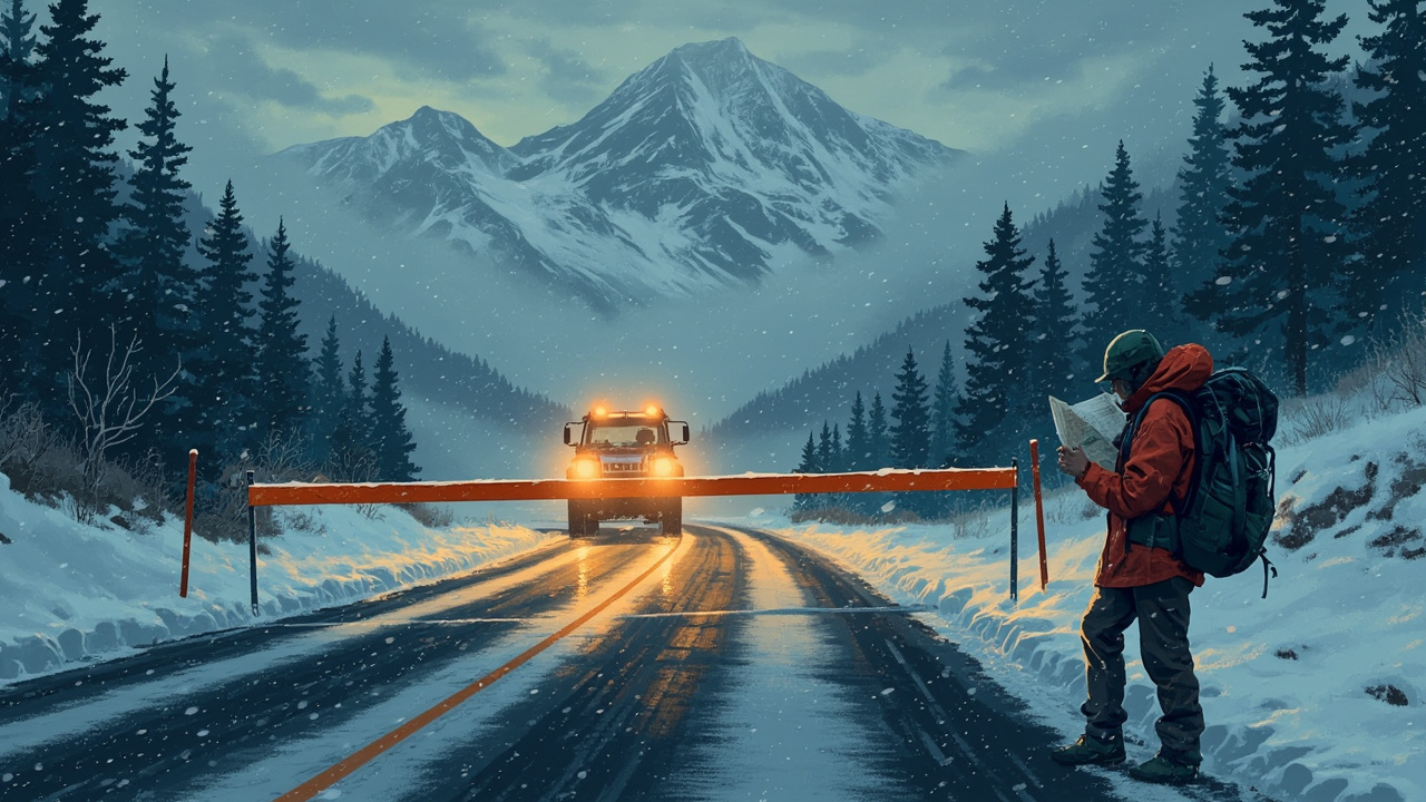
TL;DR: U.S. 160 over Wolf Creek Pass closes again at 6 a.m. Monday, Nov. 16, after a weekend reopening, and a Sierra storm could bring 1 to 3 feet of snow above 6,000 feet Tuesday night through Thursday.
Colorado's Wolf Creek Pass carried weekend traffic for the first time since the Nov. 1 floods, and that window ends Monday morning. The Colorado Department of Transportation shuts U.S. 160 again at 6 a.m. Nov. 16 so crews can complete a week of repairs, aiming to reopen it for good for Thanksgiving, according to Outdoor Unc's report on the pass. Farther west, Sierra advisories run through Monday ahead of a stronger system the National Weather Service expects to drop 1 to 3 feet above 6,000 feet from Tuesday night through Thursday.
Wolf Creek Pass: one weekend open, then more repairs
The highway reopened at 7 a.m. Saturday, Nov. 14, after flooding damaged it Nov. 1. That let Wolf Creek Ski Area restart the season it began before floods closed both pass and mountain, after local and state authorities asked for the shutdown.
Treasure Stoke, Bonanza, Tumbler, Lynx and Nova ran 9 a.m. to 4 p.m. over about 54.5% of the terrain, with adult tickets cut to $73. Lessons and rental gear were also available. The Durango Herald reported that next weekend's opening was still uncertain.
Drivers this weekend face full stops and one-lane alternating traffic at two work zones in The Narrows, near mileposts 183 and 176 between South Fork and the summit, with delays up to 20 minutes at each. About 10 miles of shifting lanes run one lane each way between Pagosa Springs and the ski area. CDOT warned of winter driving conditions; check COtrip first.
Sierra: a few inches, then a bigger storm
The Sacramento office's advisory covers the Sierra, southern Cascades and Lassen Volcanic National Park above 6,000 feet from 4 p.m. Sunday to 10 p.m. Monday, calling for 2 to 7 inches — up to 16 inches near Lassen — with snow levels of 5,000 to 7,000 feet and bursts as heavy as an inch an hour. Chain controls could slow Monday's commutes. Reno's matching advisory for the Lake Tahoe area runs 10 p.m. Sunday to 7 p.m. Monday.
The main storm arrives Tuesday night and runs through Thursday: 1 to 3 feet above 6,000 feet across the Sierra and southern Cascades, several inches down to about 4,000 feet, and snow levels of 4,000 to 6,000 feet. Low-end totals sit near 10 inches around South Lake Tahoe, with 25 to 37 inches possible along the Sierra crest. Forecasters also call for 2 to 4 inches of rain in the foothills and 40 to 50 mph gusts across the Sacramento Valley and Delta. Showers linger Friday, and the pattern could stay active into Thanksgiving week.
Caltrans shut Highway 4 at the Raymond Meadows gate and Highway 108 over Sonora Pass at noon Thursday, Nov. 12, and closed Highway 89 over Monitor Pass at 8 a.m. Friday, Nov. 13. No reopening dates had been announced, Outdoor Unc reported. Caltrans QuickMap lists chain controls.
Trail Ridge Road is shut for the winter
Rocky Mountain National Park closed Trail Ridge Road, U.S. 34, to through vehicle travel on Friday, Nov. 13. The east gate sits at Many Parks Curve, the west gate at the Colorado River Trailhead. Walkers, bicyclists and leashed pets can still use the closed stretch, staying on the road rather than side trails or tundra. The park warns the road "is not designed as an all-season road."
East of the gates, the road stays open to Hidden Valley and Many Parks Curve; on the west, from the Grand Lake Entrance to the Colorado River Trailhead. Through travel usually returns in late May, weather permitting, and opened May 29 this year. The recorded status line, (970) 586-1222, runs around the clock.
Yosemite: Tioga and Glacier Point roads closed again
Yosemite reopened both roads after early-November snow, then shut them at 5 p.m. Thursday, Nov. 12, ahead of the weekend storm, its conditions page shows. The park calls both closures temporary and has announced no seasonal closure. The Chilnualna Falls trail near Wawona has reopened, but country lying east of Wawona Road, south of the Glacier Point Road and north of Wawona, reaching the Bridalveil Creek trailhead, is still shut. Call 209-372-0200, then press 1 twice, for road status and chain controls.
Washington: Mountain Loop Highway closes to vehicles
Motor vehicles lose the Mountain Loop Highway between Bedal Campground and Barlow Pass on Monday, Nov. 16, when Mt. Baker-Snoqualmie National Forest closes that gravel stretch for the winter. The forest says the annual shutdown, arranged with Snohomish County Public Works and the sheriff's office, protects drivers when conditions turn wintry and prevents the road surface from deteriorating while wet. Hikers, snowshoers and cross-country skiers keep access, and county and forest crews repair the road each spring before it reopens.
Georgia's A.T.: bear canisters required from Jan. 1
The U.S. Forest Service has ordered a hard-sided bear canister requirement for overnight campers on the Appalachian Trail in Georgia, and the Appalachian Trail Conservancy announced it Thursday, Nov. 12: the rule starts Jan. 1, 2027, and runs year-round. It covers northbound miles 0 to 78.3, national forest land within a half mile on each side, the A.T. Approach Trail, the Len Foote Hike Inn Trail, side trails in that buffer and every shelter and campsite within it. Food, trash, food containers and toiletries belong inside; day hikers are not covered.
A commercially made canister of solid, non-pliable material, built specifically to resist bears, meets the order. Campers without one can be ticketed and fined. Canisters can still go in campsite bear boxes; the conservancy recommends against cable hangs. The conservancy said human-bear conflicts in the Georgia section have risen over two decades despite education about storing food and the bear boxes installed at each designated site, and cited Wildlife Conservation Society data showing Adirondack conflict reports fell 80% within four years of a canister rule.
Before you go
Outdoor Unc's conditions page asks readers to check with the managing agency before heading out. The tools these reports name: COtrip, Caltrans QuickMap, and the road status lines for Rocky Mountain and Yosemite.
Sources referenced
- Sierra Gets a Few Inches Tonight, Then 1 to 3 Feet Midweek (https://www.outdoorunc.com/snow/sierra-gets-a-few-inches-tonight-then-1-to-3-feet-midweek/)