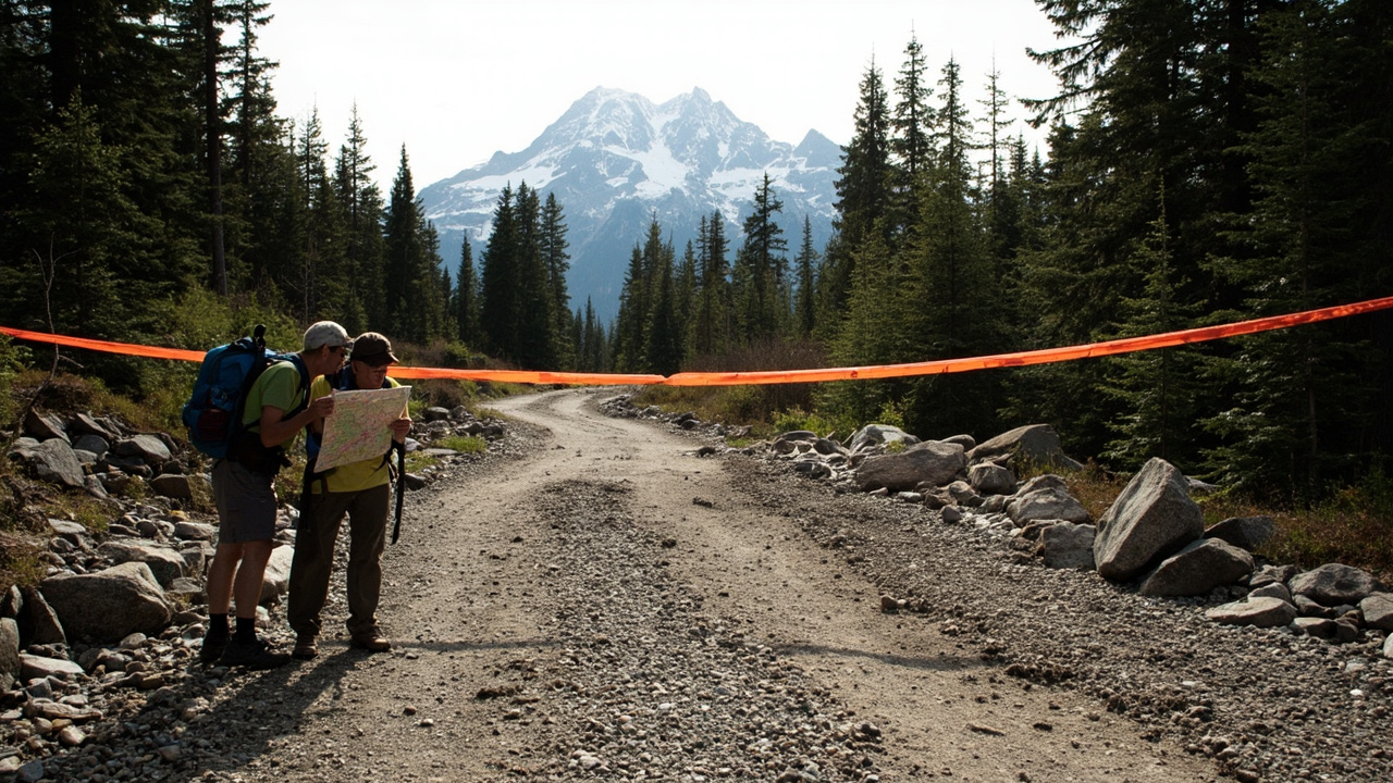
TL;DR: Washington's high-country trailheads are open for summer 2026, but many forest roads remain washed out, closed, or under repair after December 2025 floods and major wildfires.
Peak hiking season is arriving while Washington's mountain access system is still damaged. According to The Seattle Times, six months after historic flooding from a series of atmospheric rivers and windstorms, and on the heels of major fires in both the Olympics and Cascades, land managers and recreation organizations are still tallying damage.
Many washed-out forest roads have not been repaired, hampering the ability of crews to assess trails. On trails that have been scoped out, the number of downed trees is staggering, the report states. The repair bill will easily stretch into the tens of millions of dollars, according to Forest Service officials, and the money is not readily available.
Washington Trails Association Advocacy Director Andrea Imler summarized the situation in a June 9 webinar:
"Winter storms are a fact of life for Washington's trails, but this winter's heavy storms and record flooding left countless trails and roads across the state unsafe or inaccessible."
For backpackers, climbers, and day hikers, that means checking road status before packing, carrying backup plans, and expecting detours, temporary trail reroutes, and active construction zones.
Enchanted Valley route reopens in Olympic National Park
There is good news on the Olympic Peninsula. According to The Seattle Times, a road crew finished repairs to Graves Creek Road in Olympic National Park on May 28, reestablishing access to the East Fork Quinault River Trail.
That trail is the most direct route to reach the Enchanted Valley, described as a top backpacking spot and home to a famed chalet. The chalet was listed among the state's most endangered places by the Washington Trust for Historic Preservation in 2014. The restored access puts the valley once again about a 14-mile hike away.
Running upstream of Lake Quinault in the southeastern corner of the park, the gravel road had washed out at mile 4.1 over the winter, cutting off vehicular access to the Graves Creek Trailhead.
The drive in was already complicated. Erosion claimed a chunk of Quinault South Shore Road in December 2024, necessitating a detour onto the north side of the river and across a temporary bridge in order to reach the national park.
Jefferson County is responsible for that damaged road. In November 2025, the Department of Public Works reported it had received federal and state funding to repair the road, but was navigating permitting requirements as a prerequisite to bidding construction at the time.
Permits have not been forthcoming. On April 6, the Jefferson County Board of Commissioners and the Quinault Indian Nation sent a joint letter to federal and state officials with an urgent request for emergency repair authorization. The letter stated concern about what it described as a significant departure from established emergency repair procedure, noting that expedited approvals were issued last year to repair the Hoh River Road — another Olympic National Park access point — under the same emergency program.
Now that the park road has reopened, the seasonal bridge over the Quinault River is in place for vehicles to continue navigating the detour while the south shore remains closed. RVs and trailers are prohibited on Graves Creek Road.
The fix also affects trip planning. During the Graves Creek Road closure this spring, the Park Service only issued overnight permits within three days of any trip, which hampered hikers attempting to make advance summer plans. As of June 3, backpackers can once again book overnight permits through Oct. 15, the end of the permit season, at recreation.gov.
Staircase, Hurricane Hill and Rialto Beach face closures
Elsewhere in Olympic National Park, summer 2026 involves both long-term recovery and temporary maintenance closures, according to The Seattle Times.
The Staircase entrance near Lake Cushman remains closed following the human-caused Bear Gulch Fire, which grew into the largest wildfire on the Olympic Peninsula since 1951. It damaged trails in both the national park and surrounding Olympic National Forest. Although the National Park Service began advertising for a seasonal campground host in May, a full reopening in 2026 looks unlikely.
A National Park spokesperson said by email that Olympic National Park and Olympic National Forest are working together to reopen Staircase as soon as safety, infrastructure, and visitor service needs are met. This spring, park crews have been repairing roads, removing hazards, and restoring facilities in the developed area. Surrounding wilderness areas will remain closed until crews can assess and repair trails, footbridges, and backcountry privies.
On the park's north side, Hurricane Hill Road is closed Monday through Thursday through July 2 while crews rehabilitate water systems. The closure does not affect Hurricane Ridge, where a new day lodge is now in the planning stages, with construction beginning in 2028 at the earliest.
Out on the coast, Rialto Beach is also facing restricted access. Parking is limited as contractors begin staging equipment in the Quileute Tribe's parking lot ahead of a July 8 full closure of Mora Road to the beach, starting at the Mora Campground, which will remain open. Construction is expected to last until Oct. 15, and no bikes, pedestrians or vehicles will be able to access Rialto Beach from the road.
For coastal hikers, that means treating Mora as a campground-only destination during that window and selecting another beach access point.
Mount Baker roads limit climbers, guides and snowmobilers
In the North Cascades, flood-damaged forest roads are eroding access for outdoor enthusiasts, according to Cascadia Daily News. Three local roads are out of commission, but plans for repair are in the works.
The report states that in November 2021, and then again in December 2025, storms and flooding had profound human impact, with houses destroyed and families displaced. Many washed-out roads have impaired plans for local and visiting recreationalists.
The Mount Baker region hosts trail runners, mountain bikers, hikers, skiers, climbers, mountaineers and snow machine enthusiasts, all of whom use forest roads for access.
The snow machine community was hit hard. Hans Brubaker of the Northwest Glacier Cruisers Snowmobile Club noted that only three of six groomed trails were reachable this past winter.
"This loss of opportunity leads to crowding in the remaining areas, and a loss in snowmobilers' opportunity to go to the safest areas for the conditions."
Currently, snowmobilers do not have access to the upper half of Canyon Creek Road, Dead Horse Road, known as Skyline Divide, and Glacier Creek Road.
A washout on Glacier Creek Road, designated FS 39, has also limited access for climbers and skiers. The Forest Service road provides access to the north side of Mount Baker.
Bellingham Mountaineers club member Tim Schafermeyer said the washout has forced the relocation of several instructional trips, making it increasingly difficult to reach terrain necessary for teaching essential alpine and glacier skills.
Zach McGill, a founding member of Cascade Mountain Ascents, a local guide service, said work on Mount Baker accounts for about half of overall guided days in spring and summer. Losing trailhead access on the north side of Baker forces his operation, as well as other operators, to use the south side of the mountain almost exclusively.
That concentration has consequences. The south side has become busier over the last several years because of washouts and access issues on the north side, leading to more human waste, trash and negative interactions between people and animals. In summer 2025, a marmot had become so habituated to humans at common campsites that it regularly tore into tents looking for food.
In addition, the Middle Fork Nooksack Road was washed out in December 2025. The road provides access to the Elbow Lake Trail and the Ridley Creek Trail. The log crossing that included rope handrails at the Elbow Lake Trailhead was also lost.
Both trails have become increasingly popular with hikers and climbers, offering a backpacking circuit and access to the east side of the Twin Sisters range.
Repair timelines for Glacier, Deadhorse and Middle Fork roads
Mount Baker-Snoqualmie National Forest District Ranger Louis Neff said all of the popular damaged roads will be addressed, according to Cascadia Daily News.
For FS Road 37, Deadhorse Creek Road serving Skyline Divide, repairs will begin in June. The current construction timeline is two years, although the Forest Service will be able to refine the timeline as summer progresses.
For FS Road 38, Middle Fork Nooksack serving Elbow Lake and Ridley Creek, and Canyon Creek Road, there are plans to fix both roads, but there is no timeline.
For FS Road 39, Glacier Creek Road serving Heliotrope Ridge and Lookout Mountain, the road was closed at milepost 1 as of publication. The Forest Service intends to open the road up to milepost 3 until principal construction and tree felling can begin.
The plan includes a motorized vehicle road closure just before the bridge at approximately milepost 3, with electric bikes excepted. Parking and turnaround areas will be delineated near the closure.
After July 15, road repairs will begin. A flagged trail will be delineated around the construction zone. Outside the construction zone, visitors may use the existing roadbed. During tree felling operations, the road will be closed to all vehicles and persons at the milepost 3 bridge. That full closure is not expected to last more than a week, with as much advance notice as possible.
The road is expected to be open by the end of September.
The report cautions against driving around washouts. A vehicle had to be rescued from the road in mid-April after trying to make its way through trees and getting stuck. It states it is not advisable to go beyond washouts with anything other than feet, a bike or an e-bike.
Highway 20 and Artist Point reopen — with snow still on trails
Two major paved routes offer relief. According to The Seattle Times, the Washington Department of Transportation announced June 14 that repairs to Highway 20 were completed earlier than expected and the route is fully open to traffic.
An earlier projection suggested the seasonal highway, which winds through North Cascades National Park, would not open until June 19. A section between the Ross Dam trailhead at milepost 134 and Porcupine Creek at milepost 156 had been closed since the highway partially reopened from the east side April 30. That section was severely damaged in several areas by washouts in December 2025. Crews began repaving damaged sections June 5 and finished early because of cooperative weather. WSDOT reminds visitors to watch for wildlife not used to traffic.
Separately, the final 2.7 miles of State Route 542, the Mount Baker Highway known as the Road to Artist Point, reopened at 7 a.m. Wednesday, June 10, according to the Washington State Department of Transportation. Since late May, agency maintenance crews removed as much as 20 feet of snow covering the highway and parking lot.
Many trails accessed from Artist Point remain under deep snow, and most directional signs remain unavailable. Vault toilets and garbage cans are available at Artist Point. Recreationalists should plan for limited cell service and pack extra emergency supplies, the agency advises. It is unknown when the Forest Service's Heather Meadows Visitor Center will open. Visitors need the appropriate recreational pass. After reopening each summer, approximately 650 vehicles travel to Artist Point per day. In 2025, crews opened the road June 27 and closed it Oct. 15.
What hikers should do before heading out
Check the managing agency's current road bulletin, permit page, and construction dates before leaving home. For Olympic backpacking, confirm recreation.gov permit availability. For Mount Baker climbing routes, confirm whether access is from the south side. For North Cascades trips, confirm Highway 20 and SR 542 status on the WSDOT travel map.
Fire rules are also tightening. According to the Washington Trails Association, the Washington Department of Fish and Wildlife is prohibiting fires and campfires across all agency-managed lands in Eastern Washington starting June 15, including in fire rings, while personal camp stoves are allowed. The Washington Department of Natural Resources is prohibiting dispersed campfires in Ahtanum and Naneum Ridge state forests starting June 12.
Carry navigation tools that work without cell service, extra food and layers for snow-covered trailheads, and waste-packout supplies where toilets and services are damaged or closed.
Sources referenced
- WA mountain access faces long road to recovery as summer hiking season begins | The Seattle Times (https://www.seattletimes.com/life/outdoors/wa-mountain-access-faces-long-road-to-recovery-as-summer-hiking-season-begins/)
- Flood-damaged forest roads are eroding access for outdoor enthusiasts | Cascadia Daily News (https://www.cascadiadaily.com/2026/jun/16/flood-damaged-forest-roads-are-eroding-access-for-outdoor-enthusiasts/)