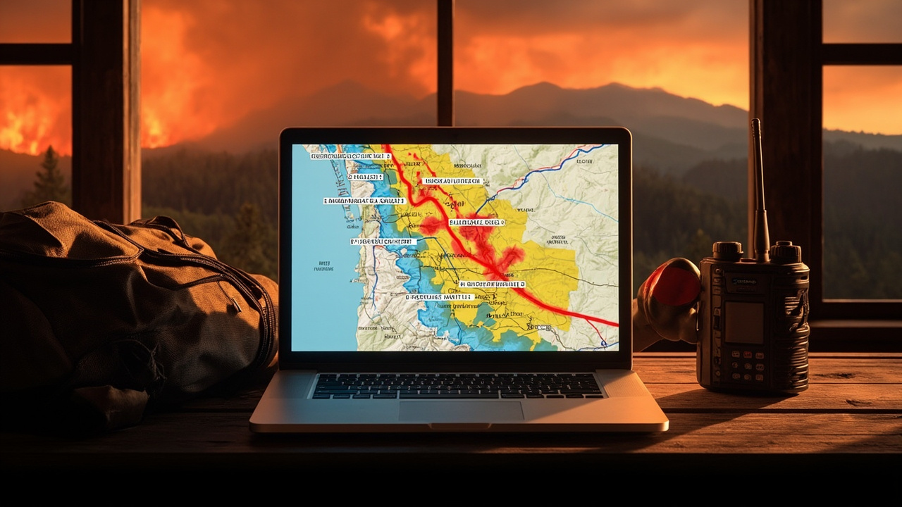
TL;DR: Blaine County, Idaho is finalizing an interactive wildfire evacuation map with pre-defined blue, yellow and red zones that will show zone status, fire perimeters and weather in one place on the county website.
New tool will tell residents when to leave
Blaine County is working to launch a new interactive wildfire map that will tell residents when they need to leave their homes in Hailey, Idaho, according to reporting by KMVT/KSVT in “Blaine County preparing to launch interactive wildfire evacuation map.”
The report, published June 3, 2026 at 6:13 p.m. MDT by Jordan Scheufler, describes the product as a public map for pre-defined evacuation zones and real-time fire information.
County disaster services coordinator Chris Corwin is leading the effort for the county.
Corwin said the map has been six months in the making.
Final details are being completed before public launch.
The map is set to go live on Blaine County’s website within the next few weeks.
Residents will be able to track their assigned zone on that county site once it opens.
Statewide push behind pre-defined zones
The county is following a directive from Gov. Brad Little to create pre-defined evacuation zones as part of a statewide push, according to KMVT/KSVT.
Idaho uses the “Ready, Set, Go” evacuation system for wildfires.
Each Blaine County zone will be color-coded blue, yellow or red under that system.
Pre-defined boundaries are intended to speed decisions during fast-moving incidents.
“The studies have shown that evacuation zones predefined help people evacuate faster,” said Chris Corwin, the county’s disaster services coordinator.
Corwin urged residents to find their zone as soon as the map goes live.
That early lookup removes guesswork about roads, rivers and direction during an alert.
What the map will show in one place
The map lets residents track their zone, wildfire perimeters and weather variables all in one place, according to KMVT/KSVT.
Zone status tells a household whether its area is under notice.
Wildfire perimeters show where mapped fire edges sit relative to homes and roads.
Weather variables provide fire-relevant conditions alongside the zone and perimeter layers.
Corwin said public demand for that combined view has been strong during past fires.
“We’ve found in the past that people are really hungry for information related to wildfires,” Corwin said.
The county plans the map as a central source for quick updates.
The design is meant to get information out to people quickly and easily.
Why address-level zones matter for evacuation speed
Corwin said the zone format shortens the time needed to understand an order.
Residents will not need to interpret a text description of north, south, east or west of a road or river.
They can open the county map and see their zone assignment and status directly.
That direct match is intended to help a household decide to evacuate faster.
Faster household decisions also move traffic off local roads sooner.
Corwin linked that speed to local terrain and fuels.
“These fires can start, they can move very quickly,” Corwin said, pointing to the area’s topography and fuel types.
How Blaine County will push evacuation alerts
The county will also push alerts directly to residents, according to KMVT/KSVT.
The Integrated Public Alert and Warning System, or IPAWS, sends emergency messages to any cell phone inside an affected zone.
No separate local signup is needed to receive an IPAWS wireless message when a phone is inside the targeted zone.
Smart 911 delivers alerts to those who sign up in advance.
That second path requires residents to register before an incident.
Households that register can receive targeted messages through that opt-in channel.
Outdoor travelers should confirm that phones are set to receive government emergency messages.
What to do the day the map goes live
Corwin urged residents to find their zone as soon as the map goes live.
Write down the zone name or number and keep it with emergency papers.
Identify at least one evacuation route before a fire sparks.
Corwin also reminded citizens to map out an evacuation route before a fire starts.
Keep that route in a place that is reachable without internet service.
Households in rental housing, second homes and camps should store the same zone note.
Visitors to Blaine County should ask hosts for the property’s zone after launch.
Clear space and watch distant fires
The map is only one tool for wildfire safety, according to KMVT/KSVT.
Corwin reminded citizens to remove vegetation, wood piles and debris from around their homes.
Clearing those materials reduces fuels immediately next to structures.
Outdoor gear, firewood stacks and yard waste should not remain against walls or under decks.
Residents should maintain situational awareness even when smoke is not overhead.
“Keep situational awareness at all times, even if it’s a fire that’s 20 miles away, 50 miles away from your home,” Corwin said in the KMVT/KSVT report.
A fire at those distances can still affect travel, air quality and later evacuation needs.
Monitoring the county map and official alerts helps track that wider picture.
Why officials expect an active 2026 season
The 2026 wildfire season in the Blaine County region has the potential to be exceptionally active, according to “Public lands managers warn of wildfire threat” by the Idaho Mountain Express.
Two Sawtooth National Forest officials gave that assessment to Blaine County leaders in presentations to the Blaine County Board of County Commissioners on Tuesday.
Bobbi Filbert, district ranger of the Ketchum Ranger District, and Michael Fuller, acting area ranger of the Sawtooth National Recreation Area, warned that drought conditions could support a high number of wildfires on public lands.
The warning followed a winter that tallied one of the lowest snowfalls in decades.
The U.S. Natural Resources Conservation Service reported on April 1 that Idaho’s snowpack levels peaked on March 17, three weeks earlier than normal.
At 68%, the state’s snowpack was well below its average.
The National Oceanic and Atmospheric Administration’s June weather outlook for the region predicts warmer than normal temperatures for the entire state.
That outlook gives equal chances of below-average or above-average precipitation.
Drought, staffing and ignition risk around the Wood River Valley
NOAA reported that 2026 is the 19th-driest year on record in 132 years, with precipitation nearly 3 inches below average, according to the Idaho Mountain Express.
The agency’s U.S. Drought Monitor map for Blaine County showed the far northern part of the county as “abnormally dry.”
The central part of the county was in “moderate drought.”
The southern and far southern areas were in the “severe drought” and “extreme drought” categories, respectively.
Filbert said her agency is well-prepared for the crux of the wildfire season.
The district has two staffed fire engines and hand-crews who fight wildland fires on the front line.
The district will have its teams providing seven-days-a-week coverage starting on Sunday, June 7, with one team and its equipment available for response.
Also starting on June 7, the district will have the assistance of a high-performance Type-3 helicopter stationed at the SNRA headquarters north of Ketchum.
The aircraft is mainly used for initial attack, aerial surveillance and transporting crews.
A “helitack” team of wildland firefighters trained to battle blazes in remote areas will also assist the district.
The Sawtooth National Forest has about 45 wildfires each year, with half caused by people and half by lightning.
The agency states that properly maintaining and extinguishing campfires is key to preventing wildfires.
It also warns to make sure chains on motor vehicles do not drag on the ground and cause sparks.
Backpack-ready checklist for map users
Save the Blaine County website address where the map will appear.
Check the map after launch and record the household evacuation zone.
Sign up in advance for Smart 911 to receive opt-in alerts.
Leave IPAWS-capable phone alerts enabled while in Blaine County.
Pack identification, medications, water, food and chargers before smoke appears.
Store copies of the evacuation route where all household members can find them.
Remove vegetation, wood piles and debris from around the home.
Review campfire controls, vehicle chains and other human ignition sources before trips into the Sawtooth National Forest.