TL;DR: The Utah Avalanche Center is publishing early-season forecasts for its eight Utah regions again, and the practical way to use one is to read the danger rose first, then work through the supporting sections before committing to terrain.
The center's forecast archive listed a Logan Area Mountains advisory issued Nov. 10, 2026, by Paige Pagnucco as its newest posting, with Salt Lake and Provo forecasts from Drew Hardesty dated Nov. 8 and a Moab forecast from Dave Garcia dated Nov. 9. The Park Record reported Nov. 6 that the center had restarted its morning forecasts, with bulletins following changing conditions for now rather than a fixed daily schedule.
The posting schedule is still condition-dependent
Once winter sets in, localized reports are published each morning by 7 a.m. and carry snow and weather conditions plus avalanche risk, according to the Park Record. Until then the cadence is uneven: the Moab forecast issued Nov. 9 said the next significant storm system will likely dictate when daily avalanche forecasts begin, with conditions updates and observations posted in the meantime.
The center is a public-nonprofit partnership covering eight regions with ratings from Low to Extreme, TownLift reported, and it can add avalanche watches, warnings and special bulletins. Its forecast tutorial defines a watch as very dangerous conditions expected within 24 to 48 hours, and a warning as very dangerous conditions already present.
Start with the danger rose
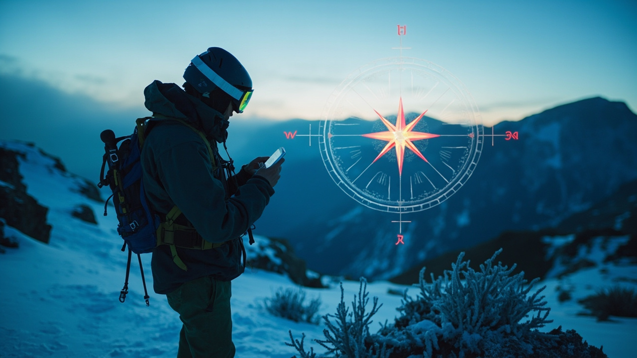
The first thing a reader sees is a colored, compass-like diagram called the danger rose, according to the Park Record. It has eight quadrants for the cardinal directions and three elevation tiers spanning below 8,000 feet to above 9,500 feet.
Mack Talty, the center's education manager, told the newspaper to picture a bird looking straight down at a perfectly conical mountain. Utah's peaks are not cones, so the rose assigns danger to a slope's direction, or aspect, and its elevation band instead. Ratings run from low and moderate through considerable and high to extreme. In a February 2026 sample the Park Record reproduced, red segments marked high danger, orange marked considerable and green marked low.
"Even if the mountain we're traveling on isn't a perfect volcano shape, it's really important that we know what aspects we're traveling on and what elevation band we're in," Talty said.
The diagram is a general picture, not a verdict on one line. The tutorial calls the rose a representation of how danger varies across terrain by aspect and elevation, so a traveler has to name both before it applies.
Weather, snow and recent avalanches
After the rose and the day's summary comes a weather and snow report. The tutorial says that section usually covers the previous 24 hours, current conditions and the next 24 hours of weather, including snowfall, wind and temperature.
Recent avalanche activity follows. The Park Record notes that forecasts document nearby slides because the buried conditions behind them can extend beyond the slope that failed. The tutorial lists what forecasters aim to capture: the trigger, aspect and elevation, size, and the weak layer involved.
The Nov. 8 Salt Lake forecast shows the level of detail. Forecaster Drew Hardesty wrote that a person triggered and was briefly carried in a small slab avalanche in very steep terrain on Mt Baldy in upper Little Cottonwood the previous day, and that early-season avalanche involvement commonly brings traumatic injury. He described thin coverage over rocks, stumps and deadfall and called triggered avalanches unlikely but not impossible, flagging north-facing slopes above 9,500 feet where new snow sat on old faceted snow.
The avalanche problem and the blue rose
Every daily forecast ends with an avalanche problem report, according to the Park Record. Some days it reads "Normal Caution" with a snow description. Other days forecasters explain how wet snow, wind drift or a persistent weak layer is creating a hazard that may not be visible, and the newspaper notes that avalanches can sometimes be triggered from below regardless of slope angle.
A blue rose inside that report shows where the problem is most likely. The tutorial's coding is direct: blue marks terrain where the problem is likely, gray where it is not. Likelihood and size graphics sit beside it.
The tutorial says small slides are fairly harmless unless they run into a terrain trap, large ones can destroy a house or remove sections of forest, and any avalanche can kill or bury a person depending on where it runs.
The ratings that catch people out
Talty told the Park Record that most fatalities occur in terrain rated moderate or considerable, when conditions are changing and can shift quickly enough to surprise people. A separate center explainer on forecast anatomy puts it near 90% of fatalities at moderate hazard or above and cautions that low danger never means no danger.
His planning advice reverses the usual order: let the hazard decide the destination, then test whether the chosen terrain fits the forecast.
Sidecountry is backcountry
A resort gate does not reset the rules. Talty told the Park Record that Utah leads the nation in fatalities from terrain access reached from a resort, and that resort avalanche mitigation stops applying once a skier or rider crosses a backcountry gate. The center's maps leave resort boundary lines off, but the terrain beyond an access gate is the same terrain described in the morning forecast.
He also advised waiting for a storm to end before traveling on unpatrolled snow. Forecasters weigh storms by water content, he said, so snow that feels light can still load a buried weak layer heavily enough to trigger a large slide.
Gear, training and forecast access
The Nov. 8 Salt Lake forecast restates the early-season minimum: a beacon, shovel and probe, the skill to use them and a careful terrain choice.
The center's pre-season checklist goes further — fresh transceiver batteries and a firmware update, an inspection of shovel and probe, a test deployment of an airbag pack, and a firmware update for an electronic airbag or a canister refill for a cartridge model.
For training, the center points to more than five hours of free online instruction through Know Before You Go, plus in-person events and on-snow classes. Forecasts are free on the website, mobile app and phone line, and the center offers region-specific text alerts and email delivery. Its app bundles advisories for all eight regions with observations, road conditions and mountain weather.
The 19th annual Utah Snow and Avalanche Workshop is scheduled for Saturday, Dec. 5.
A deadly record to carry into the season
Avalanches have killed 141 recreational users in Utah since 1940, an average of about 2.5 deaths a year, according to center figures reported by TownLift. Four people died in avalanches in Utah during an especially treacherous early-spring season in 2026.